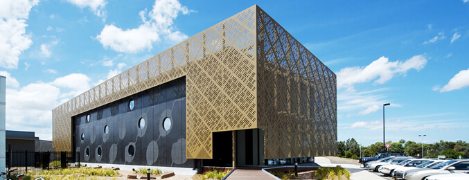
Armstrong Creek
Armstrong Creek was gazetted in February 2012 as part of the Armstrong Creek Growth Area, from largely undeveloped land which had formerly been part of Connewarre and Mount Duneed. The Armstrong Creek urban growth area will be developed into a sustainable community that sets new benchmarks in best practice urban development. Natural and cultural features will be protected and enhanced to create a distinct urban character. Armstrong Creek will become a highly sought-after location f or living, working…
Belmont
Belmont is a southern suburb of Geelong. The name means “beautiful hill”. Belmont is geographically separated from the Geelong central business district by the Barwon River. The suburb is primarily residential, with some light industry along Barwon Heads Road. Recreation Belmont has a large number of reserves and a number of local sporting clubs. The extensive Belmont Common area follows the Barwon River to the east of the suburb, and has a path along both sides of the river…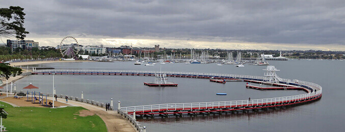
Geelong
Geelong is Victoria’s second largest city, located on Corio Bay, and within a short drive from popular beach-front communities on the Bellarine Peninsula as well as being the gateway to the famous Great Ocean Road, which begins just south of Geelong at Torquay. The city itself boasts a large commercial centre which extends down to the foreshore, offering visitors the chance to explore popular beach-front attractions such as Eastern Beach with its swimming enclosure, the Steampacket Gardens, the…
Geelong West
Geelong West is a commercial and residential suburb of Geelong, Victoria, Australia. When Geelong was founded, the area was known as Kildare but its name was changed to Geelong West in 1875. The main street is Pakington Street.…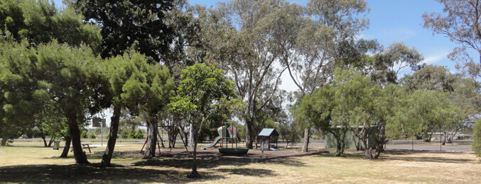
Grovedale
Grovedale is a mainly residential southern suburb of Geelong. It was originally named Germantown due to several families of Lutheran German origin who arrived in 1849 and the community expanded during the 1860s. German Cottage, a house from this period located on Torquay Road, is listed on the Victorian Heritage Register. In September 1915, after the outbreak of the first world war, the South Barwon Council changed the named to Grovedale – the name of a nearby property bought by Alexander Pennell…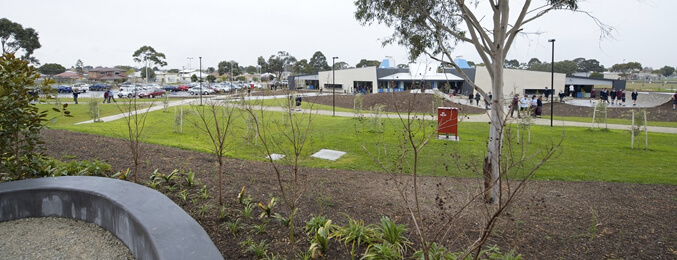
Hamlyn Heights
Hamlyn Heights is a residential suburb of Geelong, Victoria, Australia. It located to the west of the city on hills that overlook Corio Bay. The suburb boundaries are Church St, Ballarat Rd, Moorabool River and two unmarked boundaries extending between Church St to Moorabool River and between Moorabool River and Ballarat Rd. Hamlyn Heights has two retail areas. A large shopping strip is located in Vines Rd. The Post Office opened here on 2 February 1959 it is known as Vines Road, Geelong. A…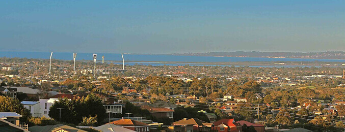
Highton
Highton is a residential suburb of Geelong, Victoria, Australia. It is bordered by Ceres and Wandana Heights to the west, the Barwon River to the north and east, the former Kardinia Creek to the south-east, and the Princes Highway and Pigdons Road to the south. Education The Highton Primary School was the first school in the area, opening in 1854. Post-war growth led to the opening of Bellaire Primary School in 1963 and Montpellier Primary School in 1969. The Geelong Grammar School…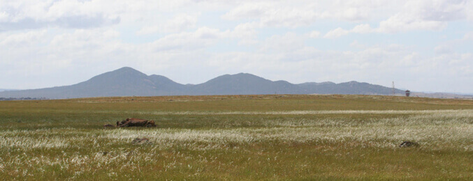
Lara
Just a short distance away from the heart of Geelong, Lara easily has the best view of the impressive You Yangs. The impressive granite peaks are surrounded by a mecca of lovely picnic grounds, family friendly walking tracks and loads of wildlife. If you’re seeking adventure, there are a number of mountain-bike trails and rock-climbing opportunities, all of which have been upgraded. More than 200 bird species have been identified in the You Yangs, along with kangaroos, koalas, possums and sugar…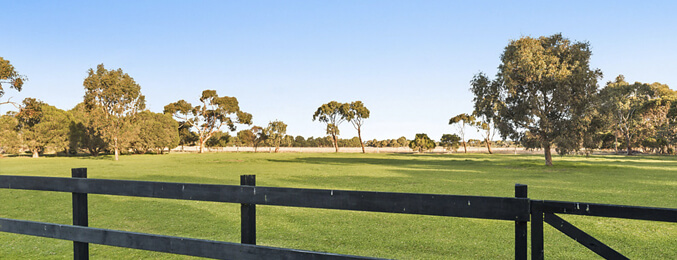
Mount Duneed
Mount Duneed is a suburb of Geelong, Victoria, Australia. It is divided between the City of Greater Geelong and Surf Coast Shire local government areas. Much of the locality north of Lower Duneed Road is part of the large Armstrong Creek Growth Area, which was opened up for urban development from 2010. With the gazetting of the suburb Armstrong Creek in February 2012, Mount Duneed's southern boundary between Surf Coast Highway and Horseshoe Bend Road follows the boundary of the Armstrong Creek…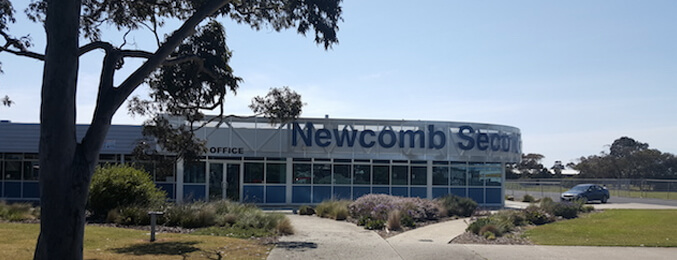
Newcomb
Newcomb is a residential suburb of Geelong, Victoria, Australia. The Post Office opened on 2 July 1962 as the suburb developed. The suburb has an Australian Rules football team competing in the Bellarine Football League. The majority of Newcomb residential areas consist of mid 20th century homes, with no capacity for new housing estates, although there is a growing trend to subdivide larger blocks to build flats, whether by demolishing existing houses or by building behind them.…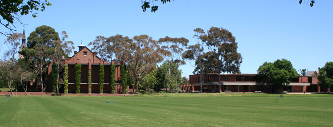
Newtown
Newtown is an inner western suburb of Geelong, Victoria, Australia. It is a primarily residential area occupying one of the highest points of urban Geelong, has always been a desirable place of residence and it is the location of many of Geelong’s oldest and most valuable properties. Sport and Recreation Queens Park is also the home ground for the Newtown and Chilwell Cricket Club, the most successful team in the Geelong Cricket Association in terms of senior premierships won.…
North Geelong
Geelong North is a suburb of Geelong in the Australian state of Victoria. The suburb was bypassed by traffic from Melbourne coming from the Princes Freeway by the creation of the Geelong Ring Road, which was complete in 2009. It is often referred to as North Geelong The head office of Australian department store, Target, founded in Geelong in 1925 is located on Thompson Road, next door to the former Geelong Golf Club.…